logo-1-1-1

Professional Aerial Drone Survey Company

DRONE SURVEY SERVICES, INSPECTION, AND MAPPING SOLUTIONS

At Prime Test Engineering, we revolutionize the world of aerial mapping and data collection with our cutting-edge drone survey services. We bring the power of technology to our clients, empowering them with actionable insights through our comprehensive drone survey solutions. As a leading Aerial Drone Survey Company, our team of experienced professionals utilizes state-of-the-art drones equipped with high-resolution cameras and sensors to deliver unparalleled accuracy and efficiency in data acquisition. Whether you’re seeking detailed orthophotos, 3D models, or intricate point cloud data, our construction drone survey services near you provide the precise solution for your project’s needs.

Aerial Drone Survey Services

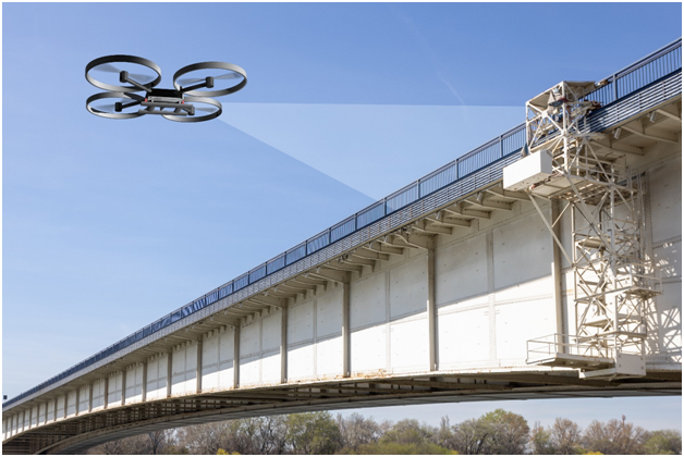
Visual Drone Inspection Services

Comprehensive Aerial Drone Survey Overview:

Conduct visual inspections using drone inspection services to obtain a comprehensive aerial overview of structures, capturing details that may be challenging to observe from the ground.

Detailed Structural Documentation:

Utilize high-resolution imagery to document structural conditions, enabling close examination of specific areas, surfaces, and components from various angles.

Identification of Anomalies:

Employ drone survey technology to identify anomalies such as cracks, wear, or structural irregularities, facilitating early detection and targeted interventions.

Enhanced Safety and Efficiency:

Enhance safety by reducing the need for personnel to physically access elevated or challenging areas while also increasing inspection efficiency.

Precision Drone Mapping

High-Resolution 3D Mapping:

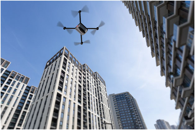
Utilize aerial drone survey company technology for high-resolution 3D mapping, enabling precise visualization of structures and landscapes for accurate measurements and assessments.

Geospatial Data Integration:

Integrate geospatial data captured by drones with existing mapping systems, providing a holistic view of the environment for improved decision-making and analysis.

Project Documentation and Planning:

Use precision drone mapping services for project documentation, aiding in construction planning, site evaluation, and ongoing project management.

Drone Mapping Services
Drone Survey Company

Damage assessment

Fully Calibrated Crack Measurement With Aerial Drone survey services:

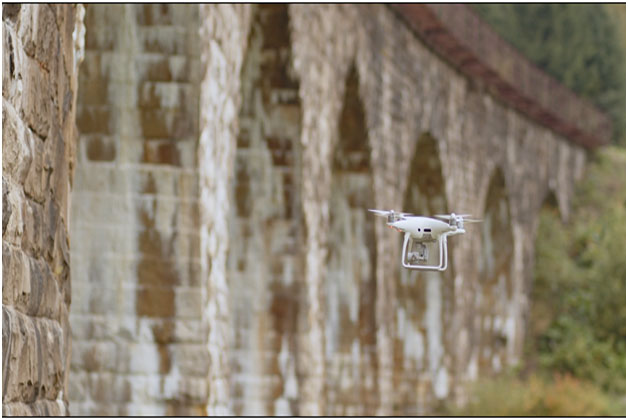
Utilize drones equipped with precision calibration for accurate measurement of cracks, defects, and structural anomalies, ensuring precise and reliable damage assessments.

High-Resolution Imagery for Defect Visualization:

Capture high-resolution imagery to visualize defects with exceptional clarity, allowing for detailed inspection and analysis of structural damages.

Quantitative Data on Damage Severity:

Implement calibrated measurements to provide quantitative data on the severity of damages, enabling a precise understanding of the structural condition.

Comparison with Baseline Data:

Conduct calibrated measurements to compare current structural conditions with baseline data, facilitating an accurate assessment of changes and potential risks over time.

Choose Prime Test Engineering if you are searching for the best construction drone survey company near me. Our team of experienced professionals utilizes cutting-edge drone technology to deliver accurate and efficient surveying services. With a focus on quality and customer satisfaction, Prime Test Engineering is committed to meeting and exceeding your expectations. Whether you need surveying for construction projects, land development, or environmental monitoring, we have the expertise and resources to ensure your project’s success. Contact us today to learn more about our services and how we can assist you with your surveying needs.

OTHER SERVICES OFFERED BY US

01

Guidance on optimal concrete selection and application methods.

02

Detailed assessments to pinpoint structural weaknesses or defects.

03

Analysis of metal structures to identify and address corrosion threats.

04

Utilizing advanced techniques to detect material flaws without causing damage.

FAQ's

A drone survey is a process of using a drone to capture data about an area. This data can be used to create a map or model of the area, or to extract information about the area. Drone surveys are often used for mapping, construction, environmental monitoring, and other applications.

The cost of a drone survey can vary depending on the size of the area being surveyed, the complexity of the survey, and the experience of the drone pilot. However, as a general rule of thumb, you can expect to pay between $500 and $5,000 for a drone survey.

Prime Test Engineering is a leading provider of aerial drone survey services. We have a team of experienced drone pilots and data processing specialists who can provide you with the accurate and reliable data you need. We use the latest drone technology and software to ensure that our surveys are of the highest quality.
Here are some of the benefits of choosing Prime Test Engineering for aerial drone survey:
Accuracy: We use the latest drone technology and software to ensure that our surveys are accurate and reliable.
Speed: We can quickly and efficiently survey large areas, saving you time and money.
Safety: Our drone pilots are experienced and certified, and we follow all safety guidelines to ensure the safety of our pilots and the public.
Experience: We have years of experience providing aerial drone survey services, and we have a proven track record of success.

Request For Proposal

logo-1-1-1

At Prime Test Engineering, we take immense pride in our position as a trusted leader in the materials testing industry.

Address

Copyright © 2023. All rights reserved

Property & Building Condition Assessment Services

Property Condition Assessments (PCAs) are meticulous evaluations aimed at comprehensively examining a real estate asset’s current state, encompassing its structural integrity, mechanical systems, and overall functionality. Conducted by licensed professionals, these assessments involve thorough inspections of both internal and external features, along with reviews of relevant documents like maintenance logs, blueprints, and permits.

Welcome to Prime Test Engineering, the leading provider of comprehensive property condition assessment services. Our team of experienced professionals is dedicated to delivering accurate and reliable assessments to help you make informed decisions regarding the safety, integrity, and functionality of your property. Whether you’re a property owner, manager, or investor, trust us to provide the expertise and insights you need to maintain your assets and ensure the well-being of occupants and visitors. Our PCA services offer a thorough evaluation of a property’s structural integrity, identifying potential issues, and providing actionable recommendations for maintenance, repair, and improvement.