Drone mapping has revolutionized the surveying industry, providing innovative solutions that enhance data collection, analysis, and visualization. This article explores the best drone mapping software available, highlighting their features, benefits, and applications in various fields.
The focus will be on software that excels in surveying and mapping, ensuring you have the best tools at your disposal for accurate and efficient data gathering.
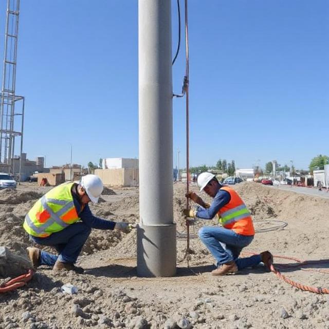
Best Drone Mapping Software Surveying
Drone Mapping Software
Drone mapping software processes captured aerial imagery using drones for building high-resolution maps and 3D models.

Some of the key functions of such software products are:
- Data Acquisition: High-resolution image capturing, as well as data of surveys of aerial survey.
- Processing: Raw images transform into orthomosaics, DEMs, as well as 3D models.
- Analysis: Tools are provided for analyzing the generated maps for actionable insights.
The benefits of adopting drone mapping software over the traditional surveying process include speed, reduced cost, and precision.
Key Features to Consider
Selecting the right kind of drone mapping software for the surveying process requires the following features:
- A user-friendly interface that accommodates a variety of skill sets and thus allows operation.
- Multidrone compatibility, which ensures that it is possible to use various drones when the nature of the task demands so.
- Advanced Processing Capabilities: Opt for software that uses complex algorithms to produce high-quality outputs.
- Automation Features: Automating redundant tasks saves time and minimizes human error in data collection and processing.
Best Drone Mapping Software in 2025
Here is a closer examination of some of the best drone mapping software currently available for surveying:
1. Agisoft Metashape
Agisoft Metashape is a powerful photogrammetry tool used across various industries. Its applications include:
- Archaeology: Documenting historical sites.
- Construction: Monitoring project progress.
- Environmental Science: Studying ecosystems over time.
Metashape excels in creating accurate 3D models from aerial imagery, making it a top choice for surveyors.
2. Pix4Dmatic
Pix4Dmatic is known for its speed and scalability, making it ideal for large-scale mapping projects. It supports LiDAR and photogrammetry data processing, allowing users to generate orthomosaics and point clouds rapidly. Users appreciate its exceptional processing capabilities, particularly in time-sensitive projects like construction monitoring.
3. DroneDeploy
DroneDeploy is an all-in-one solution that offers a user-friendly interface suitable for beginners. It allows users to plan flights easily, collect data, and process it into maps through a cloud-based platform. Its versatility makes it applicable in various sectors including agriculture, construction, and inspections.
4. DJI Terra
DJI Terra is the software that is all-inclusive for various industries. It integrates perfectly with DJI drones and generates realistic 3D models in multiple resolutions. The application is particularly good at terrain modeling and volumetric analysis, which will help in making the right decisions.
5. SimActive Correlator3D
SimActive’s Correlator3D is highly regarded for its high processing capacity. It can handle multiple input types such as drone aerial imagery and satellite data. It is also highly used in mining and forestry where terrain analysis has to be of the finest level.
6. Propeller Aero
Propeller Aero specializes in monitoring construction sites and helps its users visualize survey data effectively. The information software offers reliable distance, surface area, elevation, and volume measurement from any given drone-collected data. Because of its capability to produce a 3D site map almost instantaneously, the software enhances project management capabilities.
7. Geonadir
Geonadir collects high-resolution data using advanced photogrammetry techniques and supports various industries by providing precision mapping and modeling tools. Alongside real-time analysis of data that can be made available for quick decision-making purposes.
Advantages of Drone Mapping Software
The deployment of drone mapping software in the surveying procedures has several benefits:
- Efficiency: Drones can cover very large areas, much faster compared to traditional ways.
- Cost Benefits: It cuts down on the labor cost as well as decreases the project duration.
- Increased Accuracy: Such high-resolution imagery will ensure highly accurate measurements as well as analyses.
- Safety Enhancement: Drones may reach inaccessible hazardous or difficult areas without posing risks to the surveyors.
Best Practices for Effective Usage
Maximizing the effective use of drone mapping software for surveying will only be ensured with the following practices:
- Plan your flights ahead of time to have optimum coverage of the area under survey.
- Use Quality Apparatus: Invest in high-quality drones that are fitted with advanced cameras and sensors.
- Keep Your Mapping Software Updated: Keep your mapping software updated to reap the latest features and improvements.
- Train Your Team: Conduct training sessions for your team members so that they become familiar with the functionalities of the software.
Conclusion
The field of surveying has significantly advanced thanks to drone mapping technology. With the use of the correct software solutions like Agisoft Metashape, Pix4Dmatic, DroneDeploy, DJI Terra, SimActive Correlator3D, Propeller Aero, and Geonadir, the professionals can deliver higher efficiency, accuracy, and safety in projects.
As industries embrace the use of drone technology for surveying applications, companies like Prime Test Engineering also begin to recognize the importance of incorporating these advanced tools into their workflows to be competitive in the market.
Surveyors can fully realize the benefits of aerial data collection by selecting the right drone mapping software according to their specific needs while delivering quality results with efficiency.